Walking Atlas (June 2018)
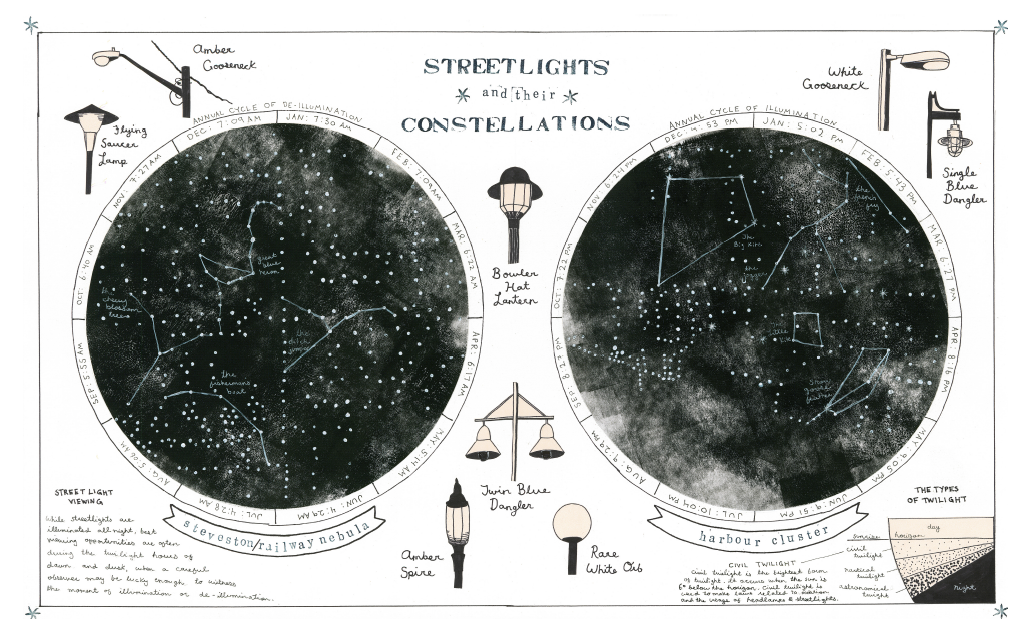
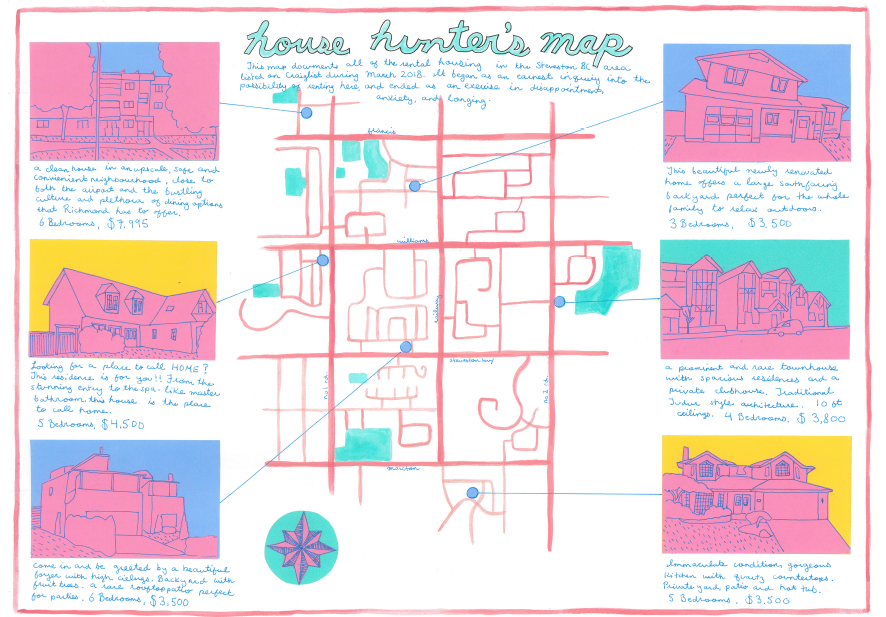
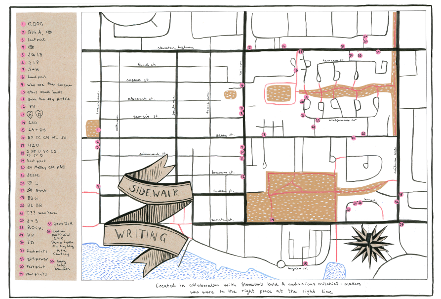
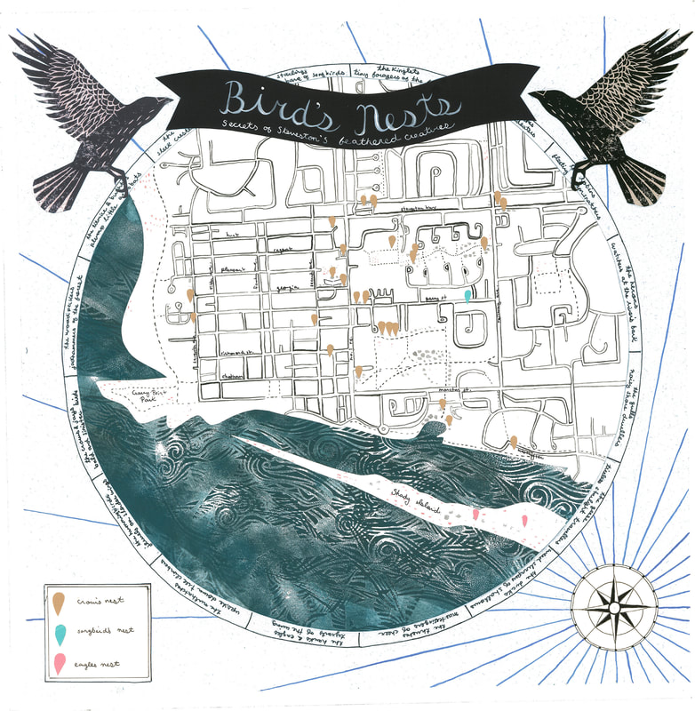
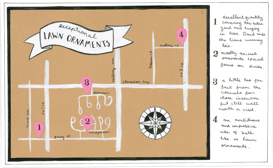
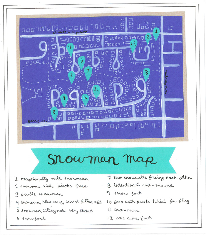
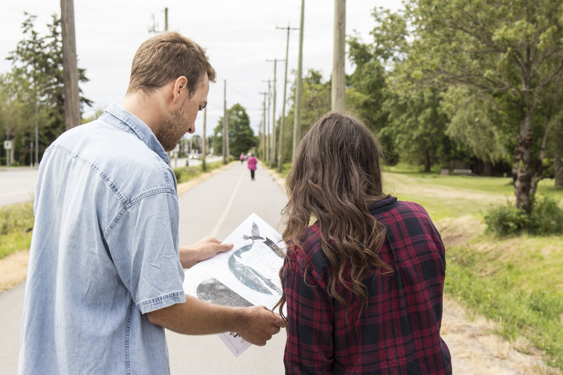
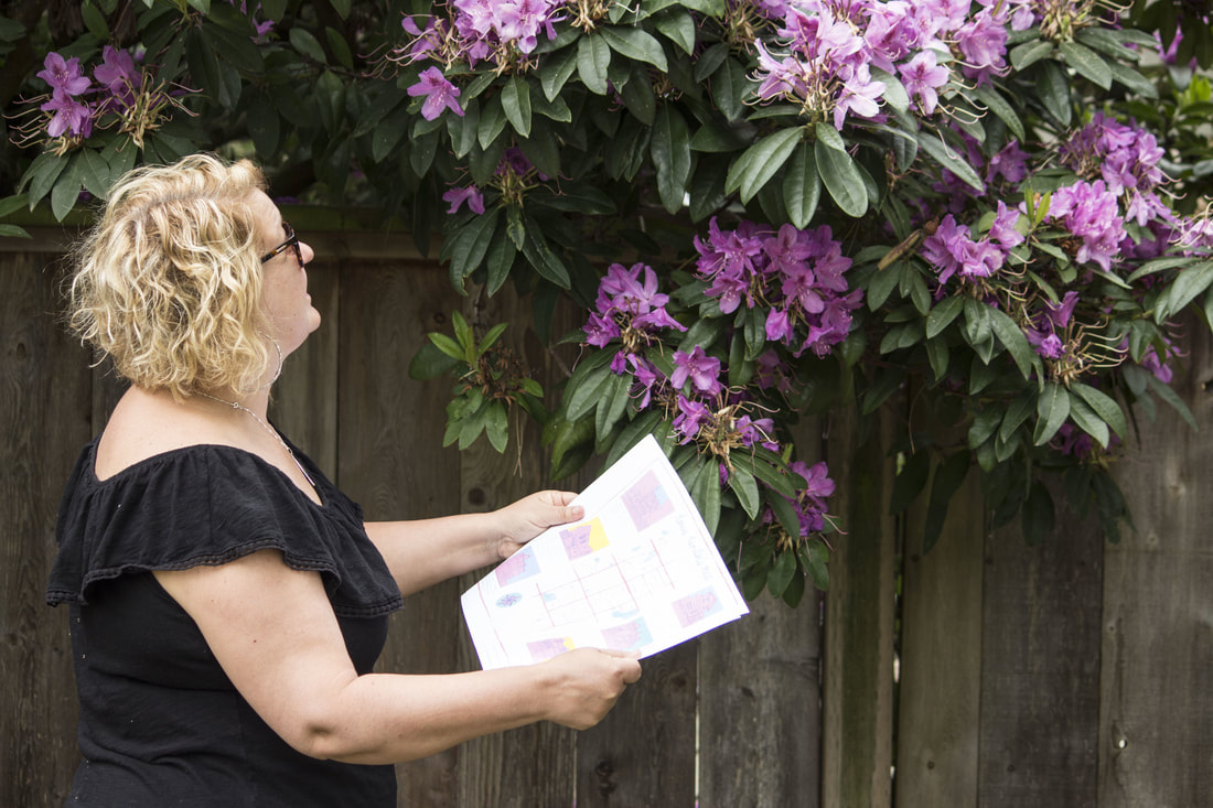
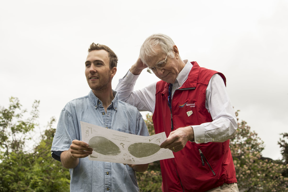
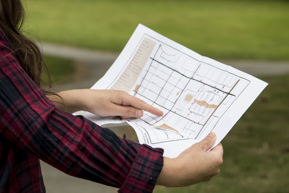
Walking Atlas is an interactive installation of handmade maps, each one representing a different perspective of the same local landscape. These maps document the process of arrival in a new home and neighbourhood, using personal mapmaking to capture fleeting and often overlooked details of Steveston BC. Redrawing the world through a lens of curiosity and wonder, maps include the locations of Steveston’s bird’s nests, where to find the neighbourhood’s most exceptional lawn ornaments, and a commemorative map of last winter's snowmen. Visitors to the installation were invited to take copies of the maps with them to use as navigational guides to re-imagine familiar places. Walking Atlas documents and celebrates the inconspicuous minutia of Steveston and encourages participants to explore their neighbourhood through a fun, unique and thought-provoking lens.
Created by Keely O'Brien as part of the Branscombe House Artist-Residency
Presented at Doors Open Richmond.
Created by Keely O'Brien as part of the Branscombe House Artist-Residency
Presented at Doors Open Richmond.